Description
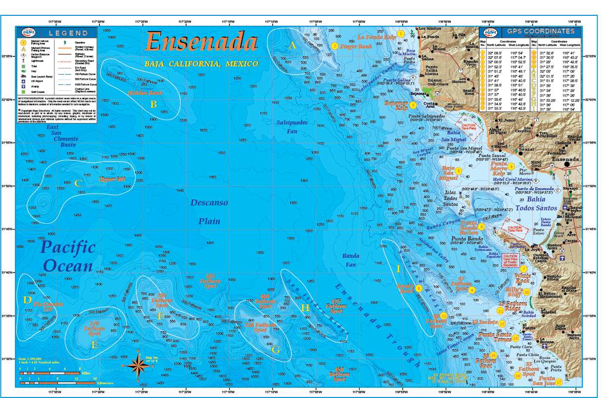
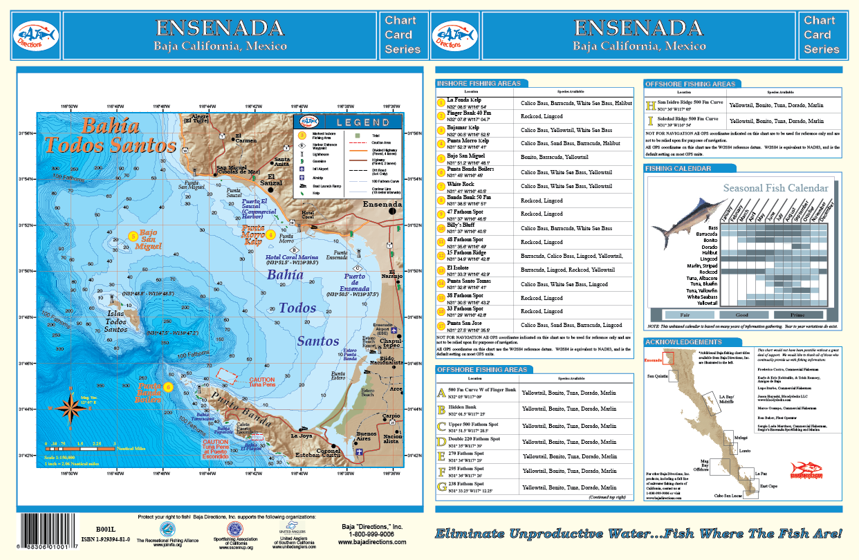
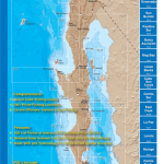
Our Ensenada chart covers the fishing areas from the kelp beds of La Fonda located just north of Puerto La Salina, to Punta San Jose to the south, a good hour’s run down the coast from Ensenada. This chart features GPS numbers and locations of both offshore and inshore fishing areas such as the Hidden Bank, Upper 500 Fathom Spot, Banda Bank, Bajo San Miguel and the Double 220 Fathom Spot, as well as lesser known areas such as El Isolote and White Rock – small rocky islets jutting from the ocean’s surface off Punta Santo Tomas and Punta Banda respectively. The underwater contours (bathymetry) of this chart were rendered from a private survey for natural gas and oil exploration and remain the absolute most detailed view of the ocean floor off Ensenada in existence! Also featured is a separate large-scale chart of Bahia Todos Santos that details out the harbor areas of Ensenada, including the popular Hotel Coral & Marina. This full color, high-resolution chart also features a seasonal fishing calendar which lists the best months for fishing by species and is currently available exclusively in our popular 11″x17″ laminated format.

Reviews
There are no reviews yet.