Description
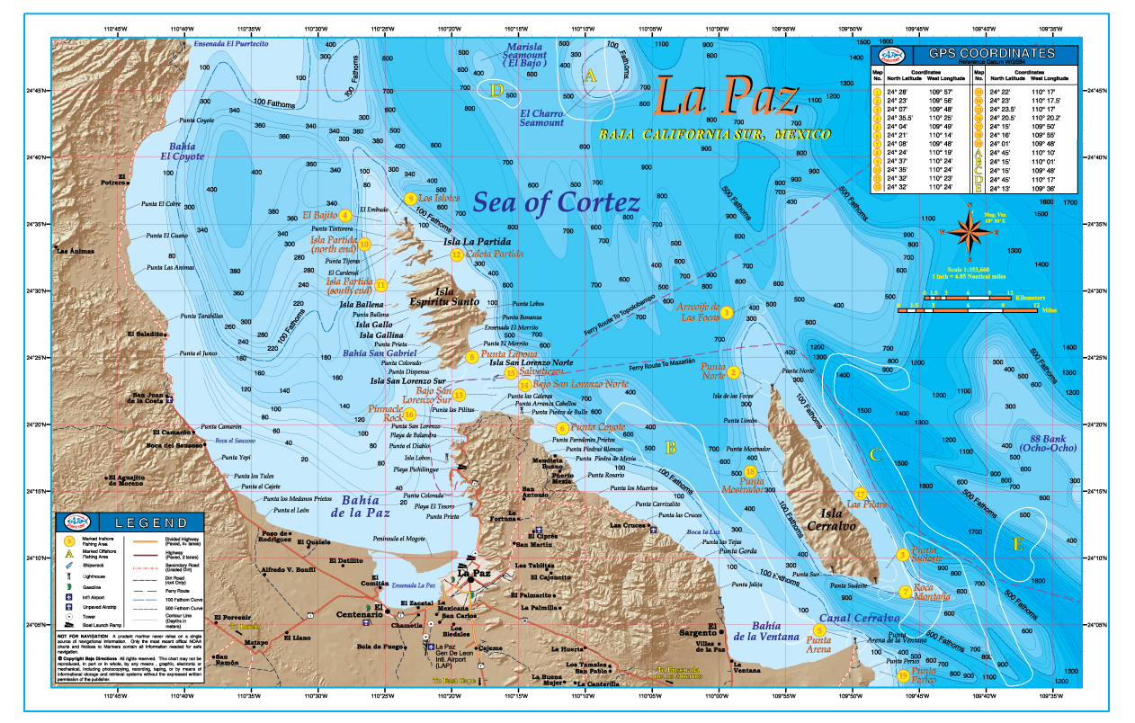
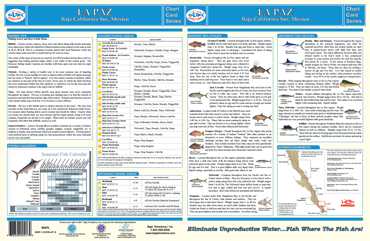
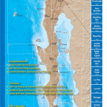
Our La Paz chart covers the fishing areas from Punta Coyote to just South of the Isla Cerralvo, including Bahia de La Paz, and the waters off Isla Espiritu Santo, Isla La Partida, and Isla Cerralvo. This chart features updated underwater contours (bathymetry), “3-D” land, updated road and facilities information along with popular fishing areas such as: El Bajo, El Charro Seamount, 88 Bank (a.k.a. Ocho-Ocho), Bajo San Lorenzo and Punta Arena. Also, the 100 and 500 Fathom Curves are highlighted so you can easily find the offshore “bluewater” and stay on those pelagic game fish. The back side of the chart contains a great deal of information such as explanations on how to fish each highlighted area, GPS coordinates, a seasonal fishing calendar, fish identification chart, and much more. This full color, high-resolution chart is currently available exclusively in our popular 11″x17″ laminated format.

Reviews
There are no reviews yet.