justin tv taraftarium canlı maç izle
istanbul evden eve nakliyat eşya depolama uluslararası nakliyat uluslararası evden eve nakliyat evden eve nakliyat istanbul ev taşıma istanbul nakliye firması evden eve nakliyat istanbul ev eşyası depolama istanbul depo kiralama gebze nakliyat istanbul eşya depolama

Mag Bay Offshore

$18.97

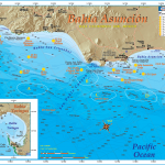
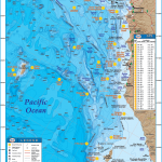
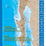
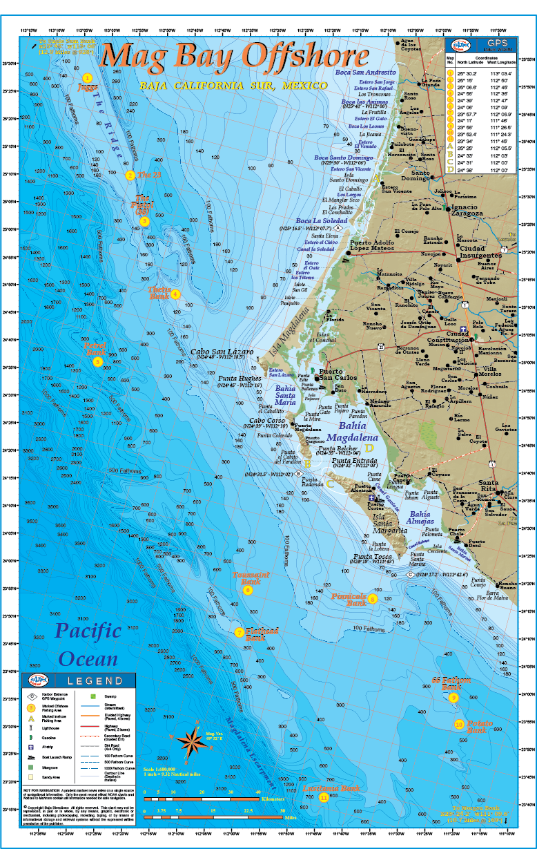
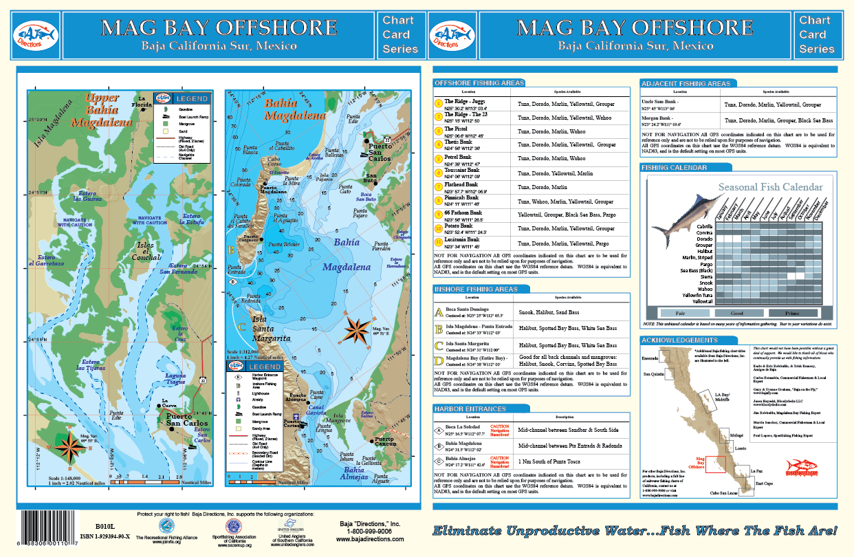
The one chart that never lived up to our expectations due to the truly incredible offshore fishing available in the region for trophy size tuna, wahoo and marlin was our “Mag Bay” chart. With our newly acquired underwater contours (bathymetry) and “3-D” land topography from our Mexican government sources we changed the name to the more appropriate “Mag Bay Offshore.” The result is one of the most breathtaking charts in our line-up! The new bathymetry is nothing short of spectacular; in fact this chart may easily be the most detailed view of the ocean floor ever produced for the waters in the Bahia Magdalena region. Also, the 100, 500 and 1000 fathom curves are highlighted so you can easily find blue “offshore” water while chasing those pelagic species. Included are the locations and GPS coordinates of the 23 Spot and Pistol (a.k.a. The 38) spots on The Ridge, but also names of areas well-known by offshore fisherman from all over the world like Thetis Bank, Petrel Bank, Potato Bank, Morgan Bank and much more! The back side of the chart has a large scale map of the inner waters of Bahia Magdalena proper and also contains a great deal of information such as GPS coordinates and a seasonal fishing calendar. This full color, high-resolution chart is currently available exclusively in our popular 11″x17″ laminated format.
Description

The one chart that never lived up to our expectations due to the truly incredible offshore fishing available in the region for trophy size tuna, wahoo and marlin was our “Mag Bay” chart. With our newly acquired underwater contours (bathymetry) and “3-D” land topography from our Mexican government sources we changed the name to the more appropriate “Mag Bay Offshore.” The result is one of the most breathtaking charts in our line-up! The new bathymetry is nothing short of spectacular; in fact this chart may easily be the most detailed view of the ocean floor ever produced for the waters in the Bahia Magdalena region. Also, the 100, 500 and 1000 fathom curves are highlighted so you can easily find blue “offshore” water while chasing those pelagic species. Included are the locations and GPS coordinates of the 23 Spot and Pistol (a.k.a. The 38) spots on The Ridge, but also names of areas well-known by offshore fisherman from all over the world like Thetis Bank, Petrel Bank, Potato Bank, Morgan Bank and much more! The back side of the chart has a large scale map of the inner waters of Bahia Magdalena proper and also contains a great deal of information such as GPS coordinates and a seasonal fishing calendar. This full color, high-resolution chart is currently available exclusively in our popular 11″x17″ laminated format.
Reviews

There are no reviews yet.

Be the first to review “Mag Bay Offshore”

You may also like…