Description
This chart is laminated and measures 11 X 17.
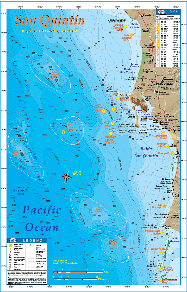
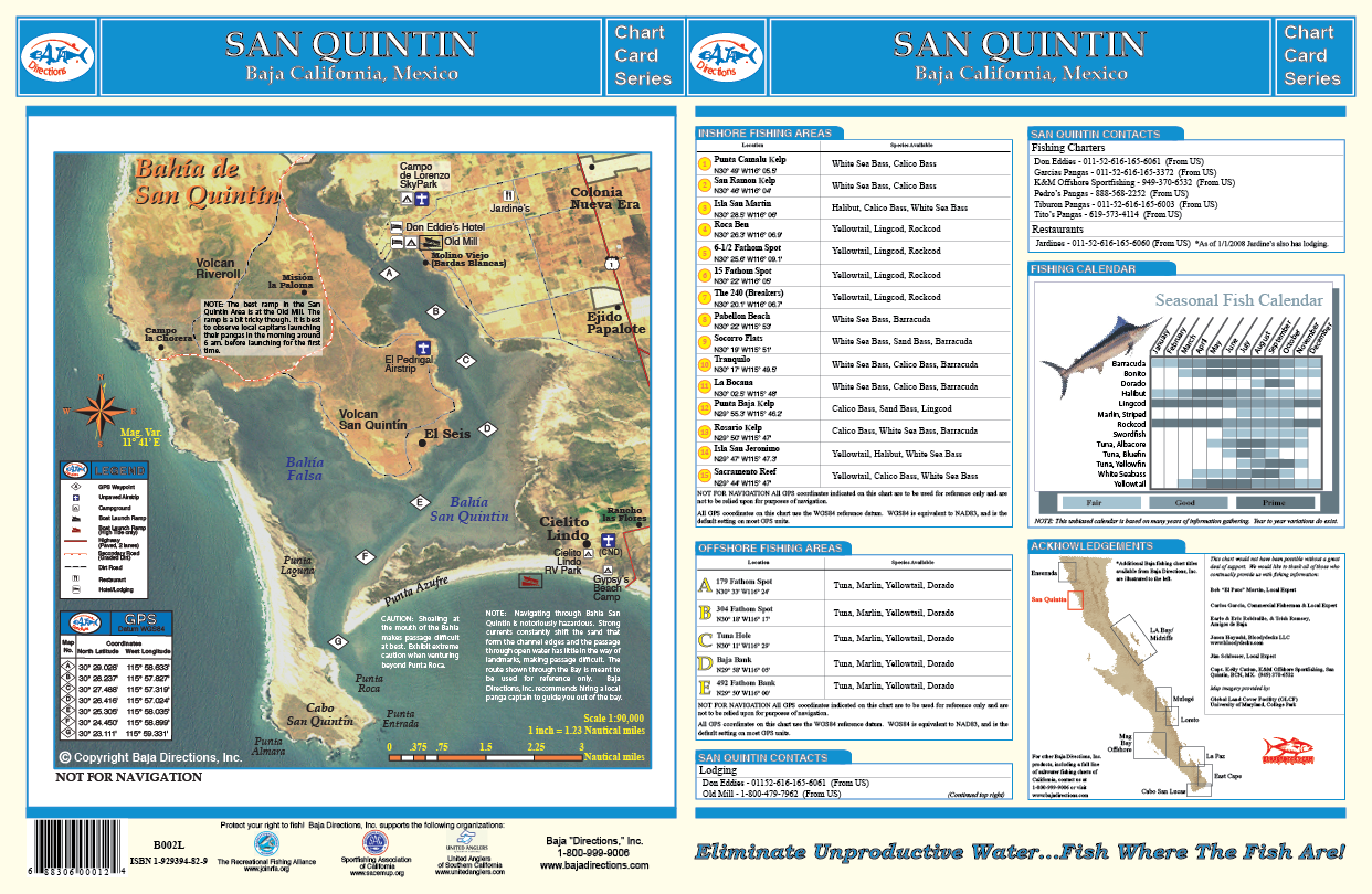
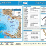
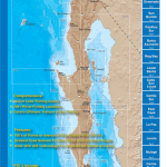
We made quite a few changes from our original San Quintin title by shifting the focus of our chart to a larger scale and including the great fishing areas a full day boat ride to the south of San Quintin. This map encompasses the Baja coast from Punta Camalu to the north and Sacramento Reef to the south, including Isla Jeronimo, Punta Baja and Isla San Martin. The GPS numbers of prime bottom fishing areas like Ben’s Rock, Breakers Reef (a.k.a. The 240), and the 61/2 Fathom Spot are featured on the chart, as well as the white sea bass areas of increasing fame such as Pabellon Beach, El Tranquilo and Socorro. Also included is a satellite image of Bahia San Quintin taken on an extraordinarily clear water day which distinctly shows the infamous channel in and out of the bay. We have also acquired GPS numbers marking the channel from a gentleman who has 30 years experience navigating through the bay! The positions of these GPS waypoints have been precisely overlayed on top of the satellite photo, giving you a frame of reference as to where in the channel each waypoint is. Baja Directions, Inc. still recommends hiring a local guide to get you safely in and out of the bay at least the first few times, but this incredible resource is a must-have for the experienced and first-timer alike as it will definitely shorten your learning curve. The locations of the most popular facilities in the San Quintin area such as the Old Mill, Don Eddies, Campo de Lorenzo sky park and more are also pointed out on the satellite image, making this chart a one-stop resource for the traveling fisherman.

Reviews
There are no reviews yet.